
Satellite Phone in INDIA - The Risk & The Wins? The Dual Use Dilemma !!

Satellite communication (satcom) devices ranging from portable satellite phones (e.g.Thuraya, Iridium, Inmarsat) to high-speed satellite data terminals and Wi-Fi routers (e.g., BGAN, Starlink Mini) bypass terrestrial telecom towers, fiber backbones, and domestic internet service providers (ISPs).
For legitimate users, this provides resilient connectivity across isolated terrains. For hostile actors, it provides an off-grid tactical channel that circumvents conventional domestic intercept infrastructure.
The Operational Threat Landscape
Hostile Satcom Device (Uplink) - Foreign Satellite Constellation (Downlink) - [Bypasses Indian LEA / CMS Wiretap]
1. Circumvention of National Interception Gateways
Terrestrial phone calls and cellular data in India pass through Base Transceiver Stations (BTS) and core networks connected to the Central Monitoring System (CMS) and Lawful Interception & Monitoring (LIM) engines.
- Handheld satellite devices connect directly to orbital transponders.
- When signals downlink to foreign ground earth stations (e.g.Thuraya stations in Sharjah, UAE, or foreign Iridium ground gateways), domestic intelligence agencies (IB, RAW, NTRO, ATS) have zero native visibility into call data records (CDRs), subscriber identities, or payloads in real time unless an in-country gateway exists.
2. Geopolitical and Neighbourhood Realities
India operates in a hostile neighborhood with porous land borders, dense jungles, rugged alpine terrain, and a 7,500+ km coastline.
|
Border / Frontier |
Primary Threat Vector |
Tactical Satcom Misuse |
|
Pakistan (Western Front / LoC / Sir Creek) |
State-sponsored infiltration, LeT/JeM terrorism, narco-drones |
Tactical coordination during infiltration; during the 2008 Mumbai (26/11) attacks, handlers and sea-borne attackers coordinated via Inmarsat handsets. |
|
Myanmar / Northeast (Golden Triangle) |
Insurgent groups, arms transit, meth/heroin cartels |
Bypasses jungle dead zones along the Free Movement Regime (FMR) corridor to coordinate cross-border logistics. |
|
Sri Lanka / Palk Strait |
Contraband, sea-borne narcotics, gold smuggling |
Fast boats coordinate mid-sea transfers outside cellular coverage zones. |
|
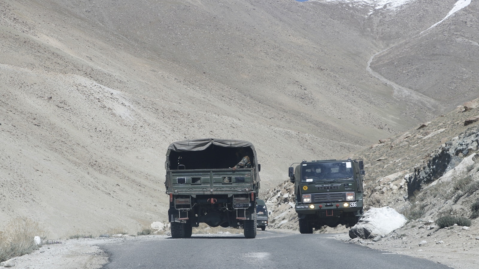
China / LAC (High Himalayas) |
Grey-zone probing, clandestine reconnaissance |
Remote patrol units and covert handlers operate across signal-void zones in Ladakh and Arunachal Pradesh. |
|
High Seas / EEZ |
Illegal fishing, mid-sea weapon drops, maritime piracy |
Vessels coordinate without AIS (Automatic Identification System) or terrestrial tracking. |
3. Asymmetric Tactical Advantages for Nefarious Networks
- Anti-establishment & Insurgent Units: Naxalites/Maoists in the Bastar red corridor and insurgent cadres in the Northeast employ satcom units intermittently ("burst transmissions") to evade radio direction finding (RDF).
- Organized Crime & Kingpins: Smugglers use satellite routers to send encrypted coordinates (waypoints, latitude/longitude) for mid-ocean or mid-air drops without leaving a trail on regional cell towers.
Civilian, Strategic, and Humanitarian Dividends
Banning satellite communications outright compromises critical civil and defense functions where terrestrial networks cannot survive.
Civic & Strategic Utility
Disaster Recovery Maritime Safety Frontier Border
(Floods, Cyclones) (GMDSS & NavIC) Development (ITBP, Bro)
- Disaster Resilience & First Responders: Cyclones (e.g., Bay of Bengal super-cyclones), landslides, and earthquakes knock out power grids and fiber networks within minutes. NDMA, NDRF, and state disaster forces rely entirely on satellite terminals for command-and-control operations.
- Maritime Safety & Blue Economy: Deep-sea fishermen and merchant vessels operating beyond 12-15 nautical miles lose coastal cellular signals. GMDSS (Global Maritime Distress and Safety System) terminals and ISRO™ NavIC-based messaging transponders save lives during sudden squalls and provide distress beacons.
- Frontier Infrastructure & Defense Operations: Border Roads Organisation (BRO), Indo-Tibetan Border Police (ITBP), and Indian Army outposts along the Siachen Glacier, Galwan, and eastern Arunachal depend on satcom for medical evacuations, logistics, and operational readiness.
- Economic Inclusion of Remote Hinterlands: Islands (Andaman & Nicobar, Lakshadweep) and remote Himalayan villages require low Earth orbit (LEO) satellite data backhaul to operate digital banking, telemedicine, and educational infrastructure.
Comparative Assessment: Security Risk vs. Strategic Benefit
|
Dimension |
Risk Vector (Cons) |
Strategic Vector (Pros) |
|
Signal Interception |
Foreign downlinks deny Indian LEAs (DRI, NCB, ATS) access to CDRs, metadata, and voice intercepts. |
Encrypted high-availability links protect friendly forces from hostile electronic jamming. |
|
Traceability & Geolocation |
Modern terminals support rapid, burst-encrypted data bursts; GPS spoofing can mask origin points. |
In emergency search-and-rescue (SAR), built-in GPS transponders pinpoint crashed aircraft, isolated trekkers, or sinking vessels. |
|
Border Contraband Flow |
Low-profile sat-data routers enable drug and arms cartels to route shipments in real time. |
Remote surveillance posts, smart fencing, and automated border sensors rely on satcom relays. |
|
Regulatory Friction |
Foreign tourists and seafarers carrying unauthorized handsets (e.g., Garmin inReach, personal Thuraya) face arrest, causing diplomatic friction. |
Blanket bans prevent illegal communications from operating unchecked in Indian airspace/waters. |
India’s Regulatory Countermeasures
India enforces one of the strictest satellite telecommunications regimes in the world under the Telecommunications Act, 2023 (which replaced the Indian Telegraph Act, 1885) and Directorate General of Foreign Trade (DGFT) rules.
- Mandatory In-Country Gateway Routing:
- Foreign satellite phone systems without a physical earth station in India (notably Thuraya and Iridium) are strictly banned for civilian use within Indian land and maritime territories (up to 200 nautical miles EEZ).
- Authorized satcom services (such as Inmarsat BGAN/IsatPhone) are routed through BSNL's secure satellite gateway at Haldwani (Uttarakhand), allowing Indian security agencies lawful interception capabilities.
- Strict Border & Customs Interception:
- Importation of satellite communication handsets without prior Department of Telecommunications (DoT) licensing is an offense under customs laws.
- Tourists, ship crew, and researchers carrying personal satellite-capable devices (including Garmin inReach and satellite beacons) face device confiscation, steep fines, and prosecution if not declared at customs checkpoints.
- Indigenous Satcom Architecture (NavIC & GSAT):
- To phase out reliance on foreign constellations vulnerable to external switch-offs or espionage, India deploys the NavIC (IRNSS) constellation and indigenous GSAT satellites to supply sovereign tracking, messaging, and defense data networks.
- LEO Satellite Internet Licensing Conditions:
- Global LEO providers (e.g., Eutelsat OneWeb, Starlink) must build local satellite landing stations (SANs), store Indian user traffic data domestically, and comply with sovereign Lawful Interception (LIM) mandates before commercial authorization.
The sovereign imperative for India is not to suppress satellite communication, but to eliminate unmonitored foreign uplinks. The transition toward indigenous constellations (ISRO/NavIC), combined with mandatory local gateways for commercial LEO operators, ensures that critical remote connectivity expands without creating tactical blind spots for national security agencies
What's Your Reaction?
 Like
0
Like
0
 Dislike
0
Dislike
0
 Love
0
Love
0
 Funny
0
Funny
0
 Wow
0
Wow
0
 Sad
0
Sad
0
 Angry
0
Angry
0

English Daily News Platform #News #Latestupdates #Tech #Business #Politics #Indianews #India. Regd No : JMAGC/HR/00072 (JMAGC ), MIB ,Govt of India










Comments (0)